US Airports and Heliports
In a previous post I used Altair to plot an interactive map of US airports using data from vega examples. I found another dataset that includes airport elevation which makes exploring the data all the more interesting.
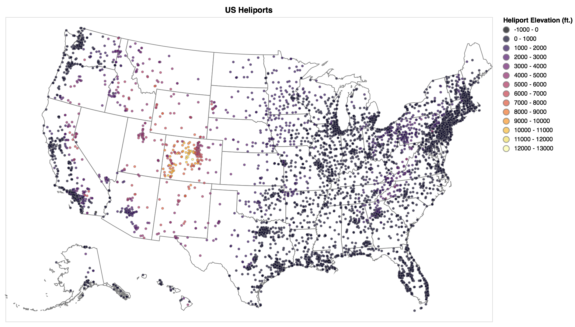
The OurAirports airports.csv dataset includes elevation data for airports and heliports. I filtered the global dataset to include small, medium, and large airports in the United States.
US Airports
US Heliports
Alternate Colors
I don't know how to change the color scheme directly with the Altair API, but it is straightforward to add the necessary vega json modifier, like "scale": {"scheme": "Plasma"} to the "color" property. There are a number of available D3 color schemes.
- You can view the original Jupyter Notebook that was used to generate these maps.
- All code examples in this notebook use Altair 2.1.0